Decentralized Regions of Greece was created as part of the Kallikratis reform (Law 3852/2010), a comprehensive reform of the administrative structure of the country in January 2011.
Decentralized administrations have both administrative and financial autonomy, and use state authorities to address urban planning, environmental and energy policies, forestry, migration and citizenship. They are also responsible for supervising the primary and secondary level administrative departments, including territories and municipalities.
Decentralized administrations are governed by a secretary general appointed by the government and assisted by an advisory council formed by representatives of the district governors and municipalities.
You can see Decentralized Regions of Greece on the map below.
Decentralized Regions of Greece
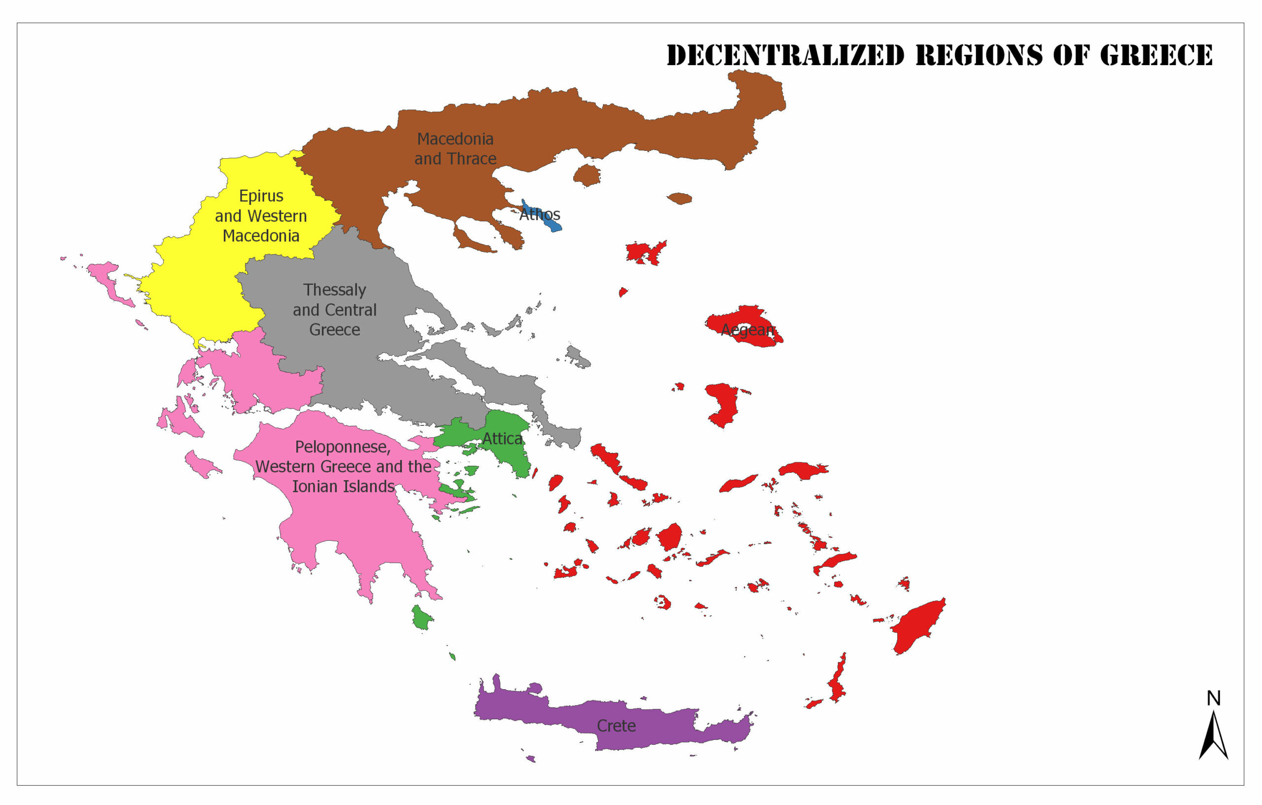
Attica
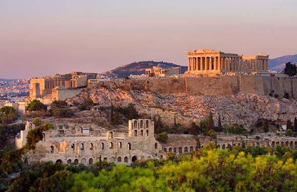
The capital is Athens. The population of 2011 is 3,828,434. The surface area is 3,808 square kilometers.
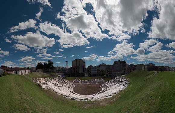
Macedonia and Thrace
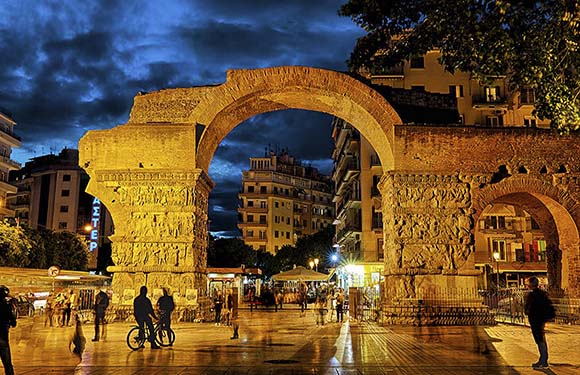
The capital is Thessaloniki. The population of 2011 is 2,490,290. The surface area is 32,968 square kilometers.
Epirus and Western Macedonia
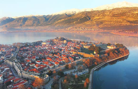
The capital is Ioannina. The population of 2011 is 620,545. The surface area is 18,654 square kilometers.
Thessaly and Central Greece
The capital is Larissa. The population of 2011 is 1,280,152. The surface area is 29,586 square kilometers.
Peloponnese, Western Greece and the Ionian
The capital is Patras. The population of 2011 is 1,465,554. The surface area is 28,847 square kilometers.
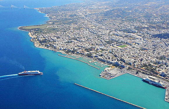
Aegean

The capital is Piraeus. The population of 2011 is 508,246. The surface area is 9,122 square kilometers.
Crete
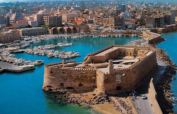
The capital is Heraklion. The population of 2011 is 623,065. The surface area is 8,336 square kilometers.
Autonomous Monastic State of Mount Athos
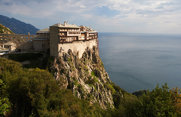
The population of 2011 is 1,811. The surface area is 335.63 square kilometers.