Benin has a total of 12 departments. There are 77 communes under departments.
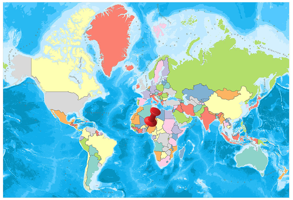
In this article we will get some general information about Benin’s departments, such as population and area. You can see Benin’s departments on the map below.
Departments of Benin
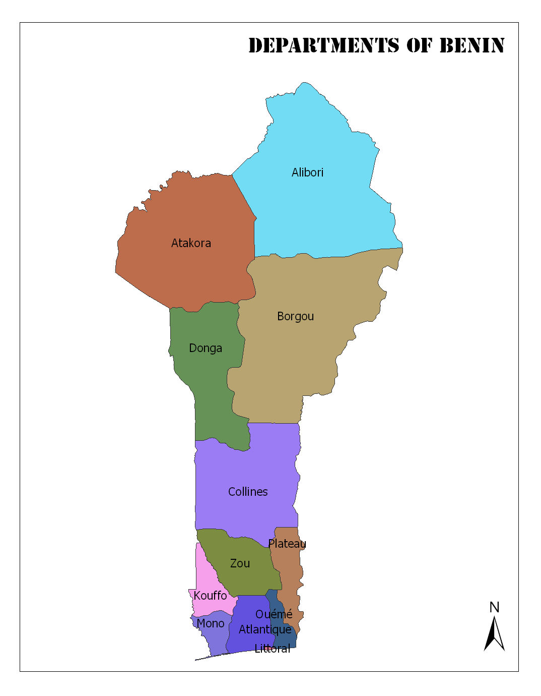
Alibori
Candi is the capital. The population of 2013 is 868,046. It has an area of 26,242 square kilometers. It is also the department with the largest surface area
Atakora
Natitingou is the capital. The population of the year 2013 is 769,337. It has an area of 20,499 square kilometers.
Atlantique
Allada is the capital. The population of 2013 is 1,396,548. Atlantique is also Benin’s most populous department. It has an area of 3,233 square kilometers.
Borgou
Parakou is the capital. The population for 2013 is 1,202,095. It has an area of 25,856 square kilometers.
Collines
Dassa-Zoumé is the capital. The population of the year 2013 is 716,558. It has an area of 13,931 square kilometers.
Kouffo
Aplahoué is the capital. The population for 2013 is 741,895. It has an area of 2,404 square kilometers.
Donga
Djougou is the capital. The population for 2013 is 542,605. It has an area of 11,126 square kilometers.
Littoral
Cotonou is the capital. The population of the year 2013 is 678,874. It has an area of 79 square kilometers. Littoral is also the deparment with the smallest area of the country.
Mono
Lokossa is the capital. The population for 2013 is 495,307. It has an area of 1,605 square kilometers.
Ouémé
Porto-Novo is the capital city. The population for 2013 is 1,096,850. It has an area of 1,281 square kilometers. Porot Novo is also the capital city of Benin.
Plateau
Pobè is the capital. The population of the year 2013 is 624,146. It has an area of 3,264 square kilometers.
Zou
Abomey is the capital. The population of 2013 is 851,623. It has an area of 5,243 square kilometers.
Benin Geography and Facts
- Population: 11,674,381
- Population Density: 105 per Km2
- Land Area: 112,760 Km2
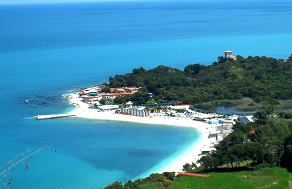
Benin is located in West Africa, on the shores of the North Atlantic Ocean. It is bordered by Togo from the west, Burkina Faso from the northwest, Niger from the northeast and Nigeria from the east.
Geography
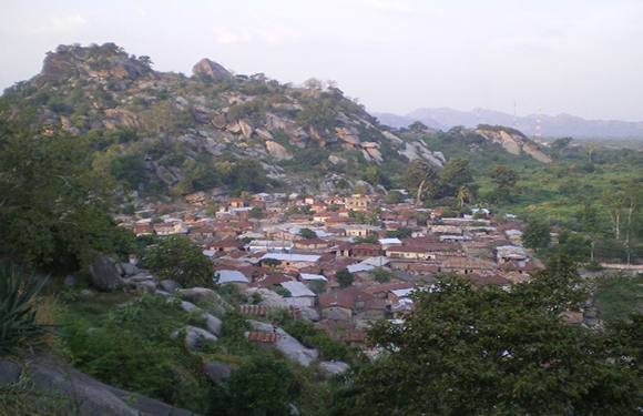
Benin is divided into five natural regions. These are the coastal region, the clay region, the plateaus of Benin, the Atakora Mountains, and the Niger Plain.
Height above sea level:
Lowest point: Atlantic Ocean 0 m
Highest point: Mount Sokbaro 658 m
Natural resources: A small number of oil puddles, limestone, marble, timber away from the coast
Governance
In Benin, there was a political system based on a single-party dictatorship before 1990. The constitution adopted on 2 December 1990 passed the multi-party democratic system. The head of state and government is the same person. The head of state is given broad powers. Legislative power is in the National Assembly of 64 people. It is a member of international organizations such as Benin, UN, OIC (Organization of Islamic Conference), African Union, Economic Community of West African Countries, IMF (International Monetary Fund) and Islamic Development Bank. The Benin government launched its diplomatic relations with Israel and South Africa in 1993.
Climate
The coastal zone is dominated by the Ecuadorian climate. There are two rainy seasons in the south, one from March to June and from September to November. These include two arid seasons. The rainy season in the north continues from May to September, the other months are dry.
Religion
There is no official religion of the state. However, it is estimated that almost half of the population is composed of Muslims, 10% of Christians, and the rest of the natural religions. However, there is no precise information about the proportion of religious elements in Benin to the general population. The majority of Muslims in the country is the Sunni Maliki. Among the Muslims in this country, the Sufi sects, especially Ticaniyya and Kadiriyye, are also effective.
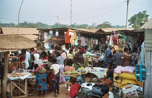
Industry and Tourism
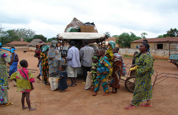
Benin’s economy is based on agriculture. The share of agricultural production in the gross domestic product is 36%. 62% of the working population is employed in the agricultural sector. The most produced agricultural product is corn. In addition, agricultural products such as grains, cassava, earthnuts, oil palm, coconut, peanuts, flax, tobacco, and coffee are also grown. In 1992, 540 thousand tons of grain was produced. In the same year, the production of ground crops such as cassava, ground apples, peanuts totaled 2 million 140 thousand tons, the production of legumes was 57 thousand tons, the fruit production was 164 thousand tons and the vegetable production was 233 thousand tons. The government gives importance to agriculture.
In addition, livestock is considered good. Nomadic tribes usually earn their livelihood by livestock. The government also received loans from various international financial institutions to develop livestock breeding. In 1992, there were 1 million head cattle, 920 thousand head sheep and 750 thousand pigs in the country. A large number of streams also allow fishing. In 1991, 41 thousand tons of fish and seafood were hunted. An average of 1 million 400 thousand barrels of crude oil is produced annually in the country and the oil produced meets the domestic demand. Benin is thought to have 20 million barrels of crude oil reserves. In addition, iron, chromium, gold and titanium reserves. The revenue from the mines is 6 per thousand in gross domestic product.
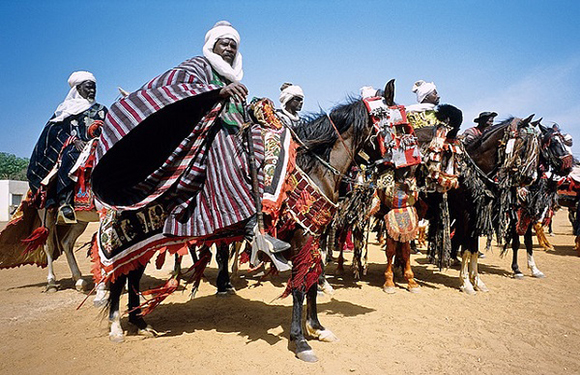
Art
Bronze casting is the first thing that comes to mind when Benin is mentioned. Bronze casting art was introduced in the 1280s. The kingdom reached its maximum magnitude and artistic splendor in the 15th and 16th centuries.
For a long time, the bronze statues of Benin were the only historical evidence to date back to the West African past several centuries ago, and both had the purpose of the monumental power of the figures represented, as well as the level of technical success achieved in the bronze casting. The Benin bronzes are better known than the works of Ife or Owo because of their existence in Western museums since the 1890s.