Departments of Uruguay

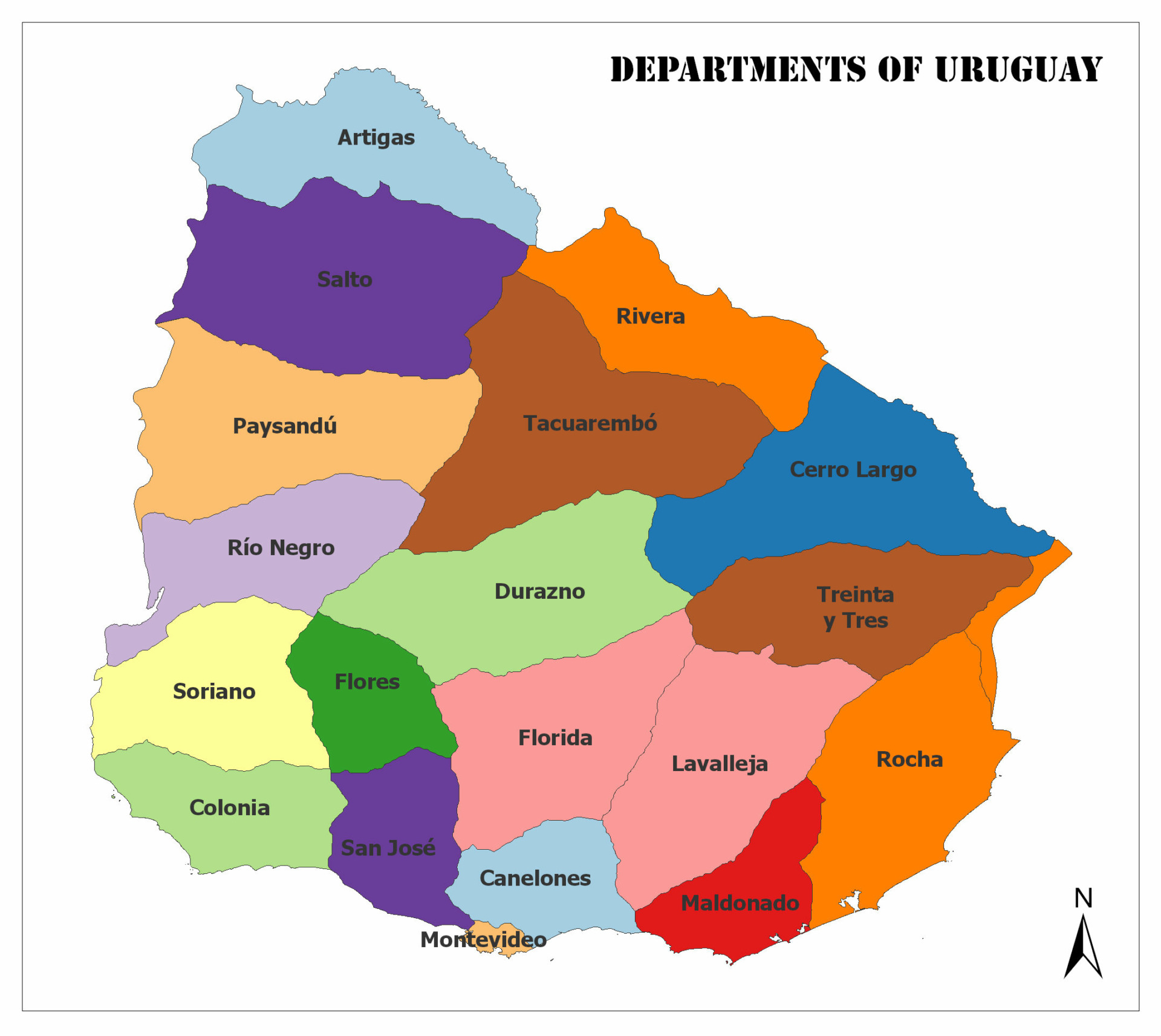
Uruguay has a total of 19 departments. In this article, we will give some general information about the departments of Uruguay, such as population and area.

Below, you can see Uruguay’s Departments on the map.

Departments of Uruguay

A color-coded map of Uruguay's departments, each in a different color and named. A compass rose indicates north.
Departments of Uruguay

Artigas

The population of 2011 is 73,378. It has an area of 11,928 square kilometers.

Canelones

Aerial view of a town with a river, a white cable-stayed bridge in the background, and lush greenery surrounding the area.
Canelones

The population of 2011 is 520,187. It has an area of 4,536 square kilometers.

Cerro Largo

Aerial view of a small town with dense building clusters, streets laid out in a grid pattern, surrounded by greenery.
Cerro Largo

The population of 2011 is 84,698. It has an area of 13,648 square kilometers.

Colonia

The population of 2011 is 123,203. It has an area of 6,106 square kilometers.

Durazno

A monument consisting of a tall column on a square base, surrounded by trees with a church tower visible in the background.
Durazno

The population of 2011 is 57,088. It has an area of 11,643 square kilometers.

Flores

Aerial view of a serene coastal landscape featuring a beach, calm sea, pathway to shore, and a small pavilion.
Flores

2011 yılına ait nüfusu 25,050’dir. 5,144 kilometrekare yüzölçümüne sahiptir.

Florida

A photograph of a large church with two bell towers and a cross on top, situated under a clear blue sky with palm trees in the foreground.
Florida

The population of 2011 is 67,048. It has an area of 10,417 square kilometers.

Lavalleja

The population of 2011 is 58,815. It has an area of 10,016 square kilometers.
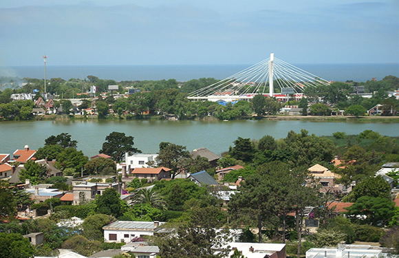
Maldonado

Aerial view of a coastal city with buildings along the shore, a beachfront, and a hill in the background under a blue sky.
Maldonado

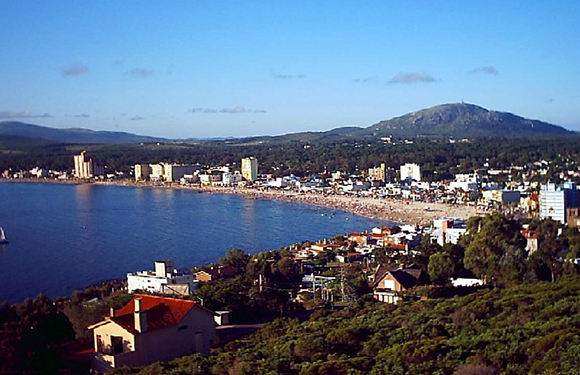
The population of 2011 is 164,300. It has an area of 4,793 square kilometers.

Montevideo

Aerial view of a coastal city with dense building clusters, green park areas, and a shoreline with waves hitting the rocks.
Montevideo

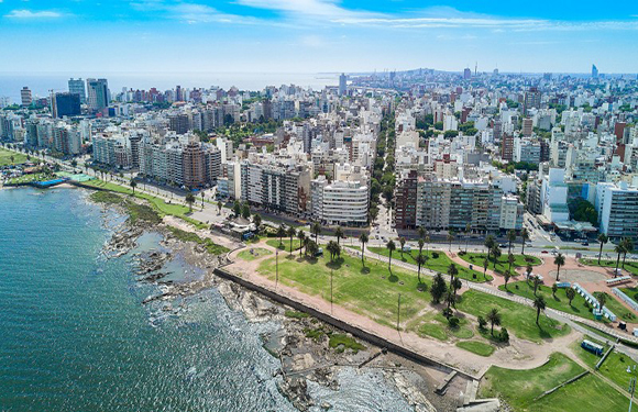
The population of 2011 is 1,319,108. It has an area of 530 square kilometers.

Paysandú

A street view with various storefronts, signage, and a few cars parked and driving on the road, under an overcast sky.
Paysandú

The population of 2011 is 113,124. It has an area of 13,922 square kilometers.

Río Negro

Aerial view of a tree-covered landmass with a shape resembling a bird in flight, surrounded by blue water.
Río Negro

The population of 2011 is 54,765. It has an area of 9,282 square kilometers.

Rivera

Aerial view of a small city with dense building clusters, green trees scattered throughout, and a flat horizon in the background.
Rivera

The population of 2011 is 103,493. It has an area of 9,370 square kilometers.
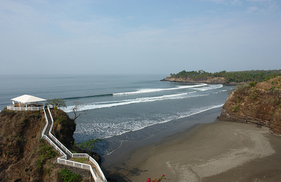
Rocha

A scenic beach during sunset with a large rock formation on the left and smaller formations in the distance under a clear sky.
Rocha

The population of 2011 is 68,088. It has an area of 10,551 square kilometers.
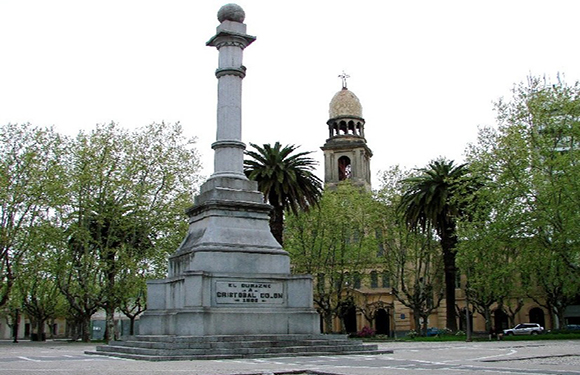
Salto

Aerial view of a river with a dock and a large industrial crane on it, with a boat moored alongside and a town in the background under a clear sky.
Salto

The population of 2011 is 124,878. It has an area of 14,163 square kilometers.

San José

The population of 2011 is 108,309. It has an area of 4,992 square kilometers.

Soriano

The population of 2011 is 82,595. It has an area of 9,008 square kilometers.
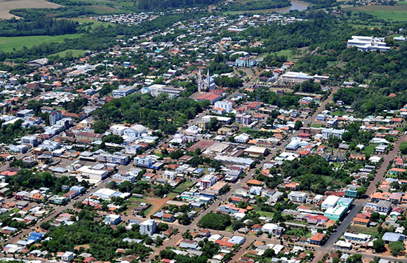
Tacuarembó

The population of 2011 is 90,053. It has an area of 15,438 square kilometers.

Treinta y Tres

An image of a long, metal truss bridge spanning over a calm body of water with greenery on the banks under a blue sky with light clouds.
Treinta y Tres

The population of 2011 is 48,134. It has an area of 9,676 square kilometers.