Cape Verde is an archipelago country. In Cape Verde, the islands are divided into two different regions. The northern islands are called the Barlavento Islands, while the southern islands are called Sotavento Islands.
It is an African country in West Africa, in the central part of the Atlantic, off the coast of Senegal and Mauritania. It consists of ten islands and eight islets. The three largest is Santiago, Santo Antao, and Boa Vista. The capital Praia is on Santiago Island.
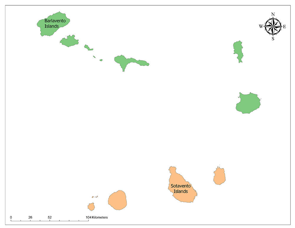
Cape Verde consists of fourteen parts under Barlavento Islands and Sotavento Islands.
The 14 regions of Cape Verde are: Boa Vista, Brava, Fogo, Maio, Paul, Praia, Porto Novo, Ribeira Grande, Sal, Santa Catarina, Santa Cruz, Sao Nicolau, Sao Vicente, Tarrafal.
Two Regions of Cape Verde
Cape Verde is divided into two island groups called Barlavento Islands and Sotavento Islands. Important Cities are Praia (Santiago Island), Mindelo (São Vicente), Cidade Velha (Santiago), Espargos (Sal), Assomada (Sal) and Santa Maria (Santiago).
Barlavento Islands
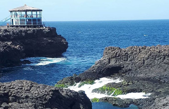
Another name is the Windward Islands, a collection of islands located in the north of Cape Verde, Barlavento Islands. Barlavento Islands is divided into two sub-regions: the western islands and eastern islands. Santo Antão, São Vicente, São Nicolau, Santa Luzia, Branco and Raso are the islands in the western island sub-region. Sal and Boa Vista are the islands in the eastern island sub-region. The total area of the northern islands is 2,239 square kilometers. The land of Barlavento Islands is barren and the weather is usually hot.
Sotavento Islands
Another name is Leeward Islands which is a collection of islands located in the south of Sotavento Islands, Cape Verde.
There are four main islands in this region: Brava, Fogo and Santiago islands in the west of the region are the oldest living areas of Cape Verde.
Cape Verde Geography, Facts
Cape Verde is an African country consisting of archipelago offshore in Senegal and Mauritania in the central part of the Atlantic Ocean in West Africa.
The three largest is Santiago, Santo Antao, and Boa Vista. The capital Praia is on Santiago Island.
Key Facts
- Population: 557,651
- Population Density: 139 per Km2
- Land Area: 4,030 Km2
Geography
In Cape Verde, where temperate climate is dominant, periodic droughts are observed due to high temperatures and irregular precipitation.
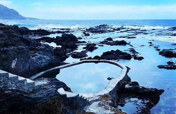
The islands are of volcanic origin. Form of Government / State Structure Presidential Type is Republic.
Cape Verde, an island state in the Atlantic Ocean included in West Africa, is located 570 km west of the African continent off the coast of Senegal. The island country is located in the African plain, one of the largest plains in the world.
The island, which has an area of 4.033 km² in total, has a 965 km coastline. 10 out of the eighteen islands in the country are inhabitants.
Six of the ten islands of the population are the Barlavento Islands and four are Sotavento Islands. The highest point of the country is Pico do Fogo with 2.829 m.
Governance
Cape Verde, governed by the Republic, gained independence from Portugal on 5 July 1975. Cape Verde is managed by a semi-presidential system. The Assembly consists of 72 deputies.
Climate
In the country where moderate climate is dominant, periodic droughts are seen due to high temperatures and irregular precipitation. The islands are of volcanic origin.
Religion
There are many Roman Catholics as well as Protestants as religious beliefs. Portuguese (official) and Crioli (Kreol) languages are spoken in the country.
Industry and Tourism
In fisheries, especially tuna and lobster, the potential is high. The country is poor concerning natural resources.
70 percent of the people live in the local area and are engaged in agriculture.
The main agricultural products are bananas, corn, beans, sweet potatoes, sugarcane, coffee, peanuts.
However, about 90 percent of the foodstuffs are imported. The largest import partner is Portugal. Export products are shoes, fish, bananas, clothes, and fuel. The largest export partners are Spain and Portugal.