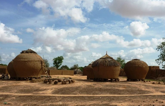
Niger is divided into seven regions as the highest administrative unit and Niamey capital municipality units, taking into account the geographical and administrative conditions. Seven regions of Niger are divided into 63 municipalities with a total of 254 municipalities. The Tillabéry division was founded in 1992 when the Niamey District was divided, and the area immediately outside of Niamey, also known as the capital region.
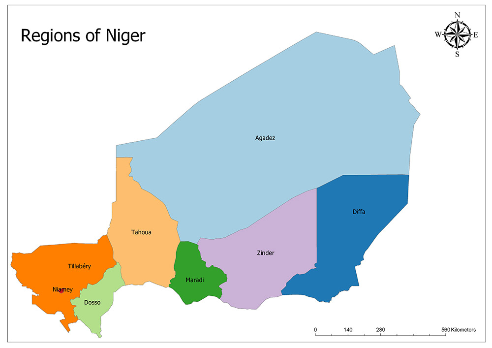
Seven Regions and Capital of Niger
Before independence, Niger was divided into sixteen regions as second-level administrative divisions. After the independence, on December 31, 1961, 16 colonial communities continued to exist. On August 14, 1964, the country rearranged it into seven chapters, unlike the neighboring Mali, which protected the colonial regions.
Agadez
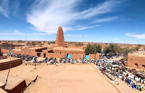
The region in the northernmost part of the country is the largest region in the country with a surface area of 667,799 square kilometers. The capital of the region is Agadez of the same name. The vast majority of the region consists of the desert, Algeria in the northwest, Libya in the northeast, Chad in the east, Mali in the west, and Niger in the south. According to 2012 data, 487,620 people live in the region. Agarez region is the region where Tuareg people mostly live and the majority of the population is in the country.
Diffa
The region in the southeastern part of the country has a surface area of 156,906 square kilometers. The region has borders with Agadez region in the north, Chad in the east, Nigeria in the south and Zinder region in the west. The border of the region with Nigeria is the Komadugu Yobe River in certain sections. According to 2012 data, 593,821 people live in the region. The region where the Kanuri people live the most is the Diffa region.
Dosso
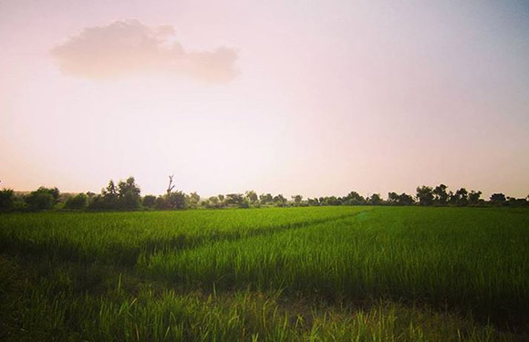
Located in the southwestern part of the country, the area has a surface area of 33,844 square kilometers. Since the region is located to the south of other parts of the country, it is more rainy and the soil is more fertile. Some of the borders of the region are Tillabéri in the north, Tahoua in the northeast, Nigeria in the southeast and Benin in the southwest. According to 2012 data, 2,037,713 people live in the region.
Maradi
The region in the southern part of the country has a surface area of 41,796 square kilometers. Tahoua region in the west, Agadez region in the north, Zinder region in the east and Nigeria in the south form the borders of the region. According to 2012 data, 3,402,094 people live in the region. The region where the Hausa people live the most is the Maradi region. The Maradi region is separated by six.
Niamey
Niamey is the capital of Niger in Africa. Its population is 1,243,500 according to 2018 estimates. It is located in the west of the country, near the Niger River. Niamey is a metropolitan city consisting of five districts. Cattle farming and meat trade occupies an important place in the city.
Tahoua
The region in the central part of the western part of the country has a surface area of 113,371 square kilometers. The region has borders with Agadez region in the northeast, Maradi region in the southeast, Tillabéri region and Dosso region in the southwest, Nigeria in the south and Mali in the northwest. According to 2012 data, 3,328,365 people live in the region.
Tillabery
The region on the Sahel belt in the western part of the country has a surface area of 97,506 square kilometers. In the northern part of the Niger River is Mali, the Tahoua region in the east, the Dosso region in the southeast and Benin with a very small border line, and the Burkina Faso in the west. The region also includes the Niamey capital municipality region, which is not connected to any region in the country. According to 2012 data, 2,722,842 people live in the region.
Zinder
The region in the southern part of the country has an area of 155,778 square kilometers. Agadez region in the north, Maradi region in the east, Diffa region in the west and Nigeria in the south. According to 2012 data, 3,539,764 people live in the region.